This annular eclipse was viewed across the United States because of its central track. The earlier 1979 eclipse, while total, was limited to the Northwest States and had a lesser impact. Though limited, schools began to move away from the “don’t look at it” attitude.
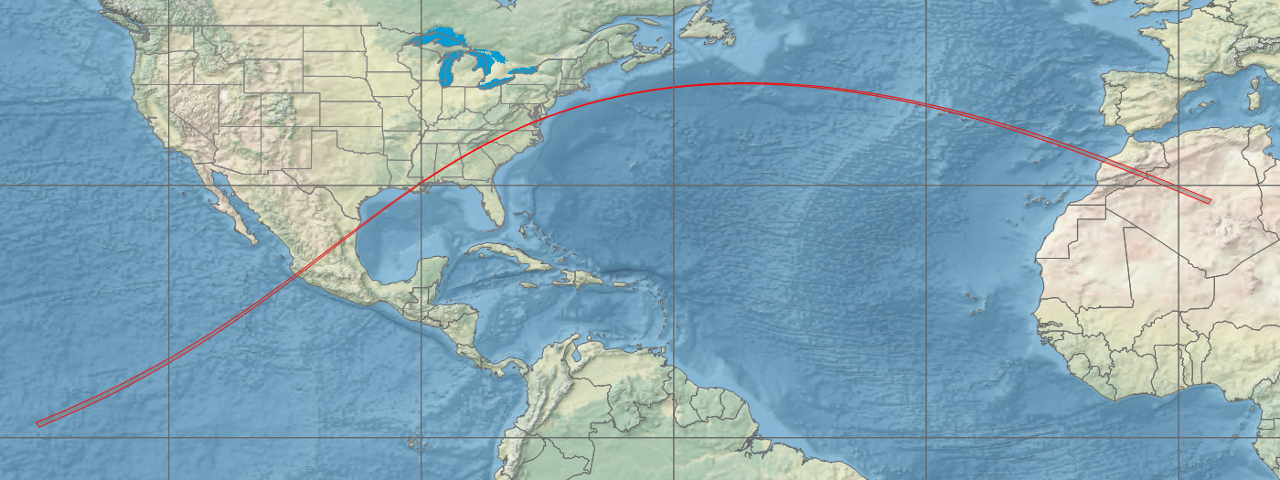
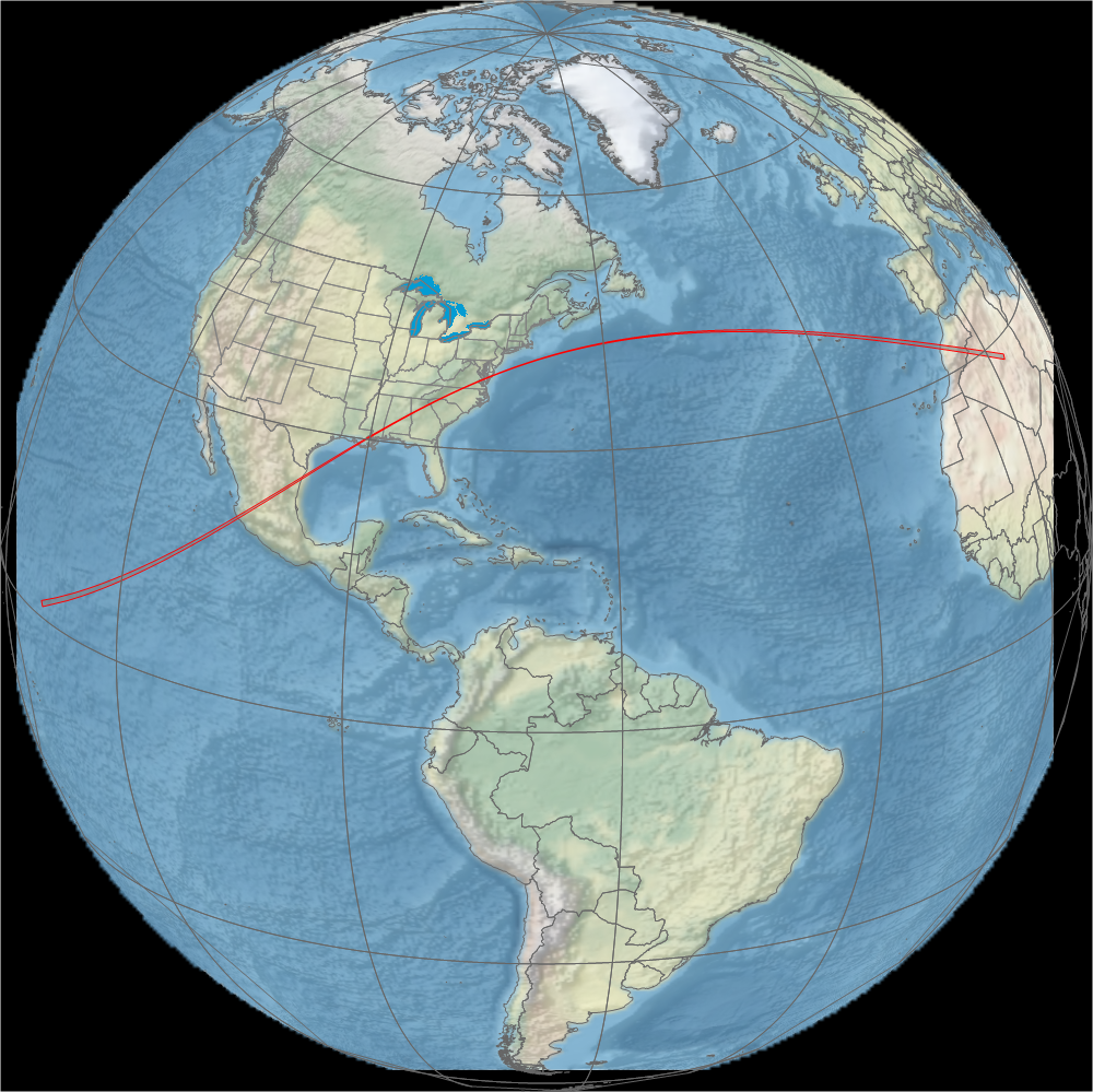
Animation of the passage of the lunar shadow created in WinEclipse, a program developed by the late Heinz Scsibrany.
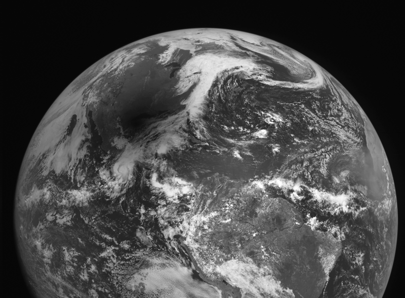
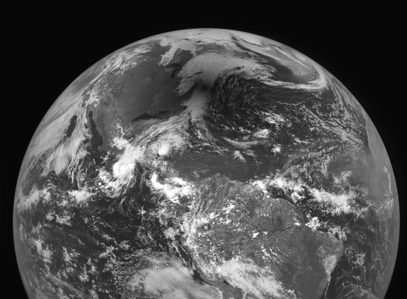
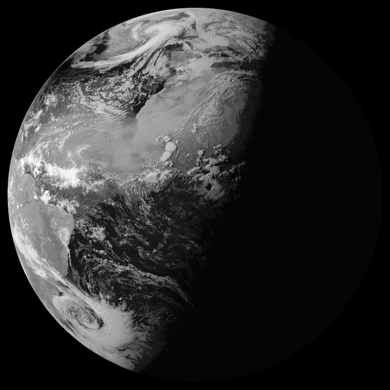
Animation of the shadow passage as seen from GOES 5. Images: NASA
Updated December 2020
Return to eclipsophile main page.