Total Solar Eclipse
2020 December 14
Alas, COVID-19 kept most eclipse expeditions at home for this one.
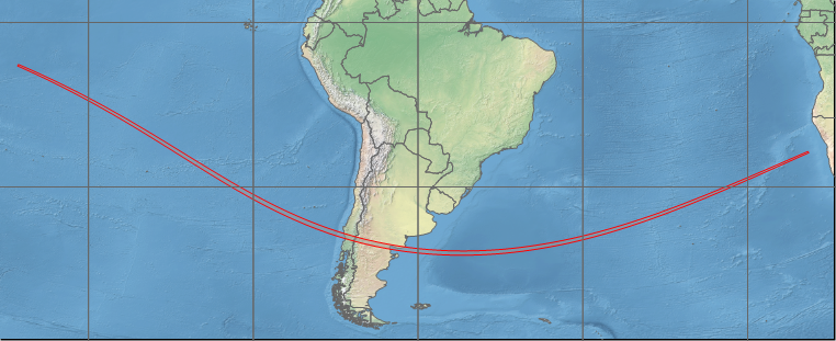
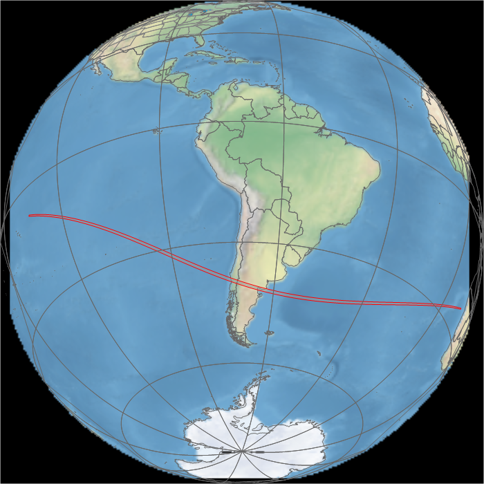
Animation of the passage of the lunar shadow created in WinEclipse, a program developed by the late Heinz Scsibrany.
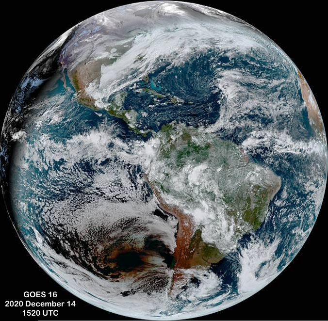
GOES 16 animation of the lunar shadow. Images: NASA/NESDIS.
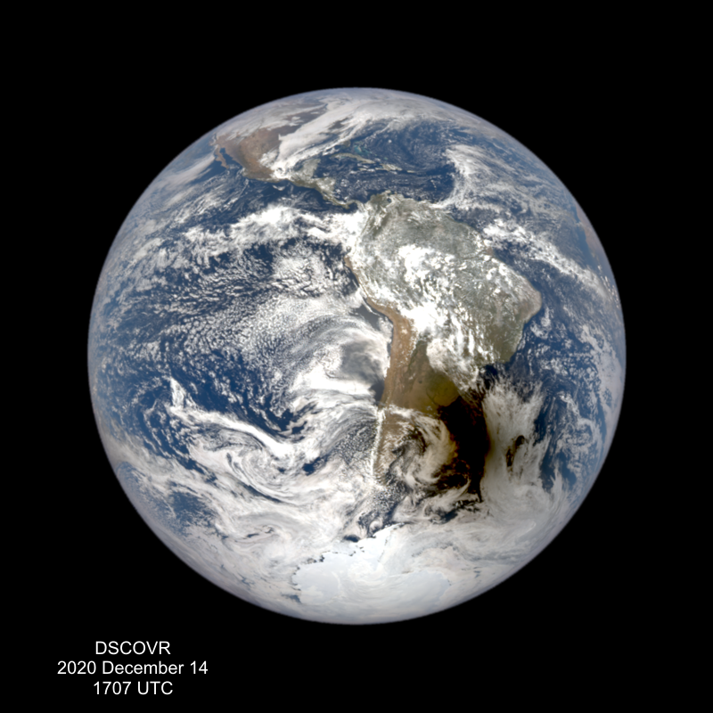
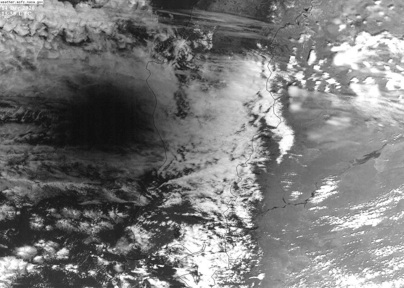
High-resolution animation of the eclipse shadow over Chile. Images: NASA.
High-resolution animation of the passage of the eclipse shadow over western Argentina. Piedra del Aguila is close to the centre of the image. Images: NASA.
Enlarged view of the passage of the shadow over South America. Images: NASA.
Animation of the thermal infrared images during the passage of the eclipse shadow. Thermal infrared is energy emitted by underlying surfaces according to their temperature. The decline in temperature during the eclipse is visible as a change from dark to light gray on the ground across non-cloudy parts of Argentina. Images: NASA.
Updated January 2021
Return to eclipsophile home page.