Total Solar Eclipse
March 09, 2016
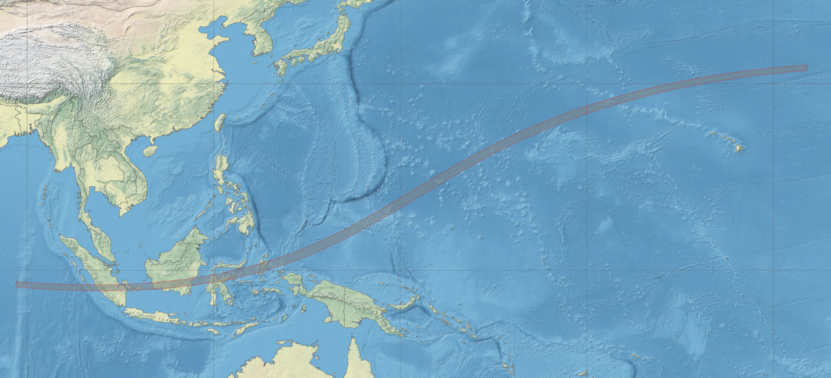
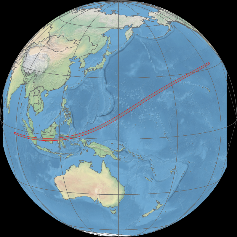
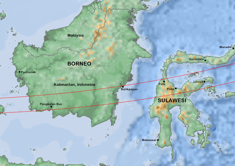
Map of the March 9, 2016 solar eclipse track. Eclipse track; Xavier Jubier.
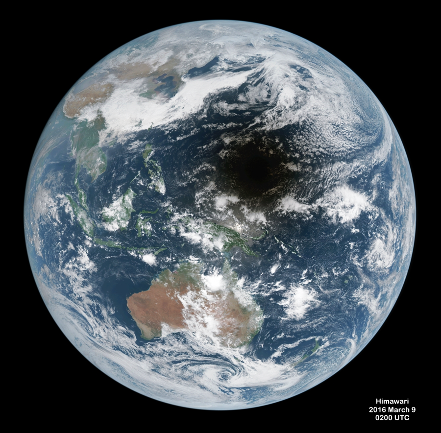
View of the eclipse shadow from the Japanese weather satellite Himawari 10 at 0200 UTC 2016 March 09. Image: JSA.
Animation of the eclipse shadow as seen by the EPIC camera aboard the DSCOVR satellite. This satellite lies at one of Earth’s Lagrangian points, 1.6 million km distant. Images: NASA.
Animation of the eclipse shadow from the geostationary satellite Himawari 10. Images: JMA.
Updated January 2021