Annular Solar Eclipse
2012 May 20-21
The May 20/21, 2012 eclipse was widely viewed across the U. S. Southwest in the late afternoon.
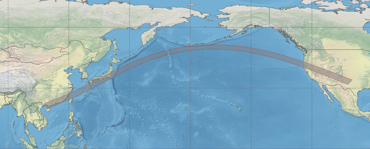
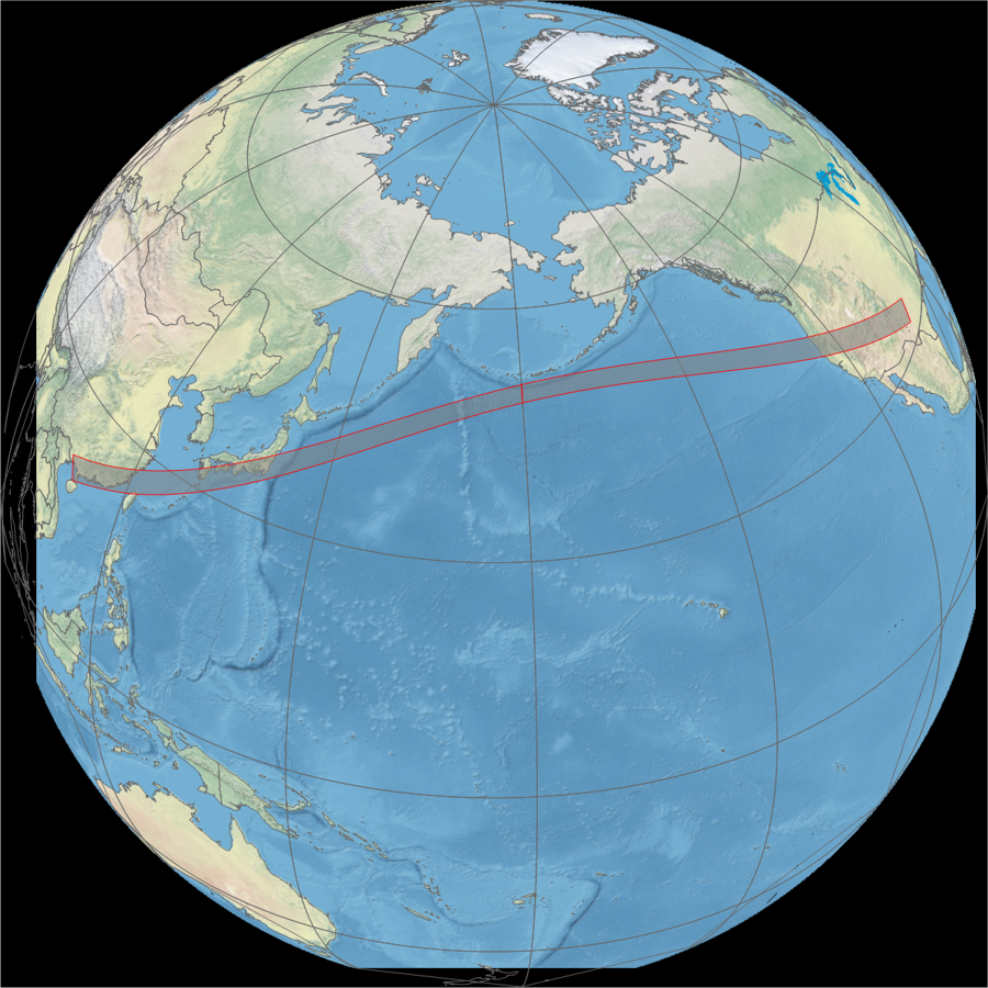
Animation of the passage of the lunar shadow created in WinEclipse, a program developed by the late Heinz Scsibrany.

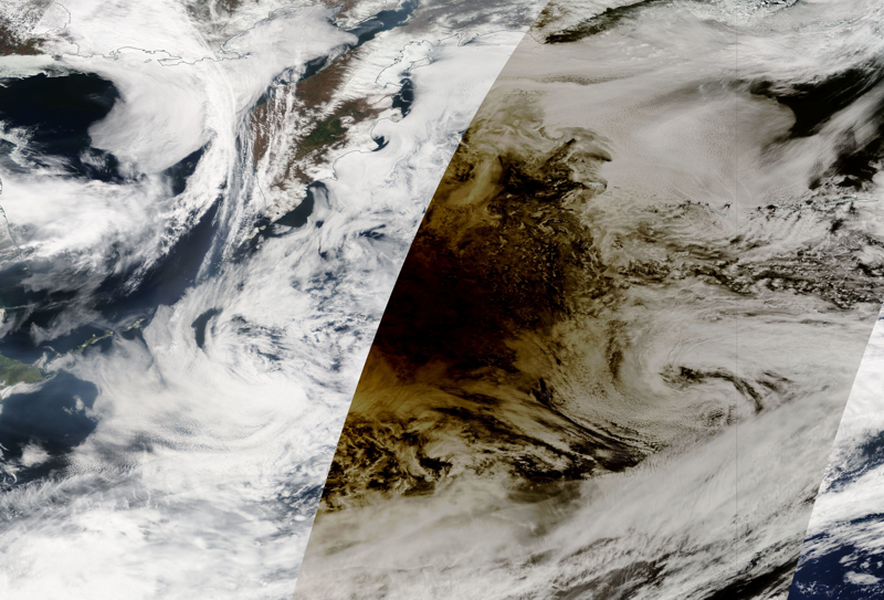
GOES 15 (GOES West) animation of the shadow passage across the Pacific and into North America. Images: NASA.
A view of the shadow from GOES 15 as it crosses the U.S. west coast. Images: NASA.
Animation of the eclipse shadow as seen from MTSAT-2. Images: JSA.
Updated January 2021