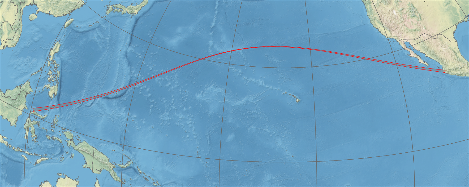
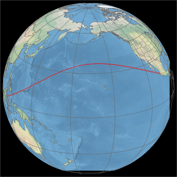
Map of the path of the lunar shadow.Global map of the eclipse path.
Most observers watched this eclipse from the shores of Costa Rica, where cloud cover made success a hit-or-miss proposition.
Animation of the passage of the lunar shadow created in WinEclipse, a program developed by the late Heinz Scsibrany.
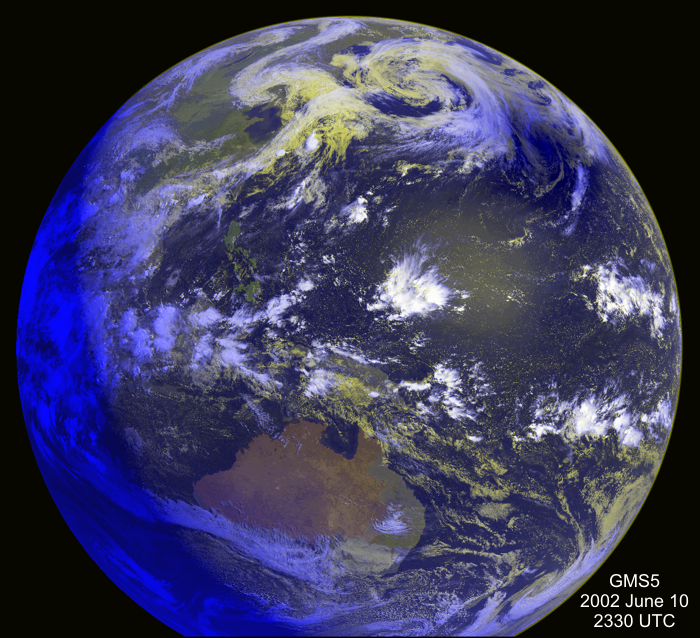
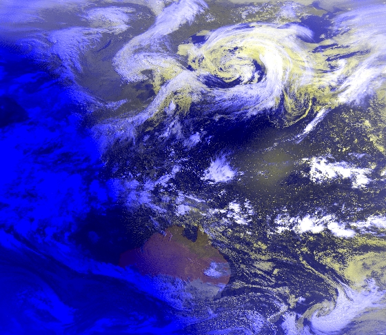
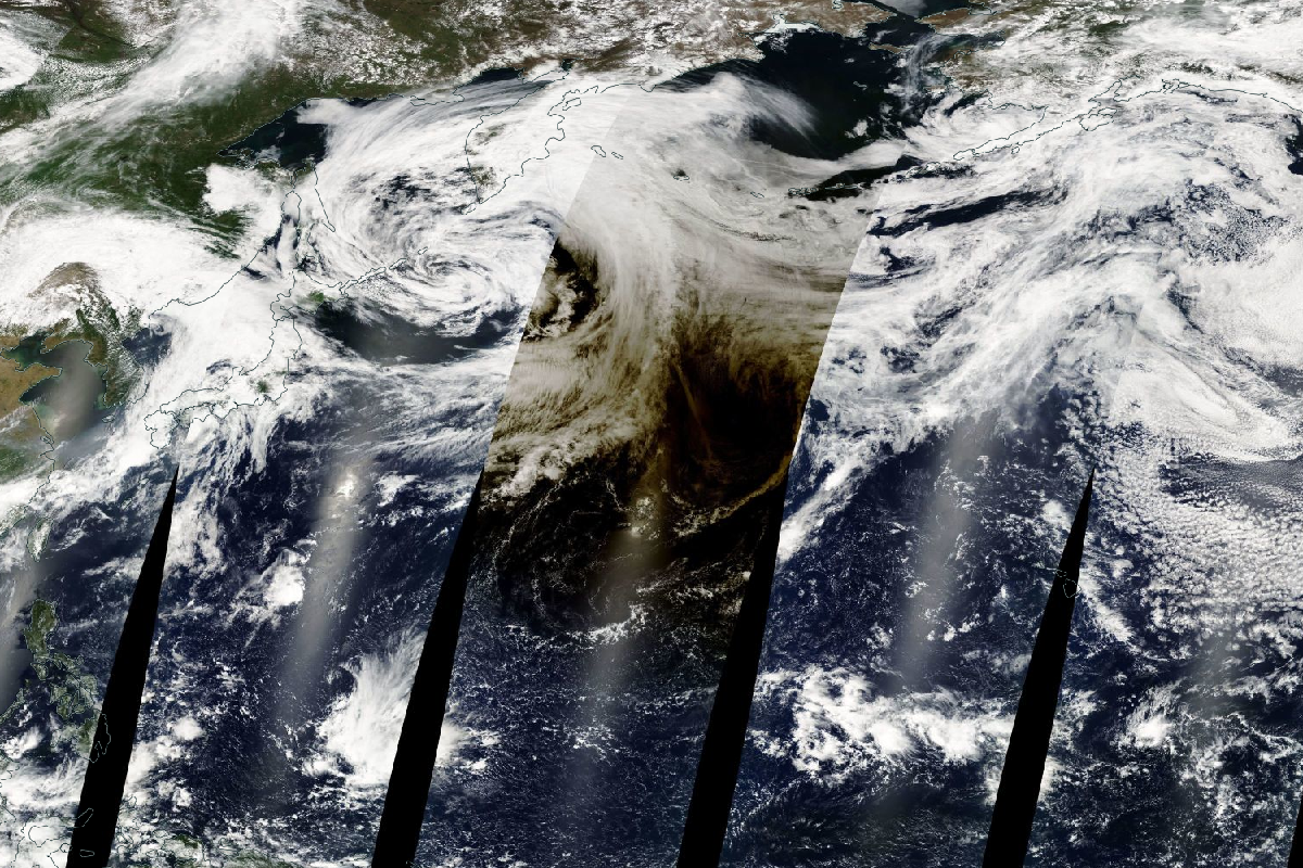
A GMS 5 image of the eclipse shadow over the mid-Pacific. The shadow is located near the upper right limb of the Earth. Image: JMAAn image of the eclipse shadow north of Australia. Image: JMA/Kyoto UniversityA view of the eclipse shadow as seen from the Terra satellite. The striped appearance of the image is caused by successive passes of the satellite. Image: NASA.
An animation of GOES 10 images showing the movement of the shadow across the Pacific. Images: NASA.